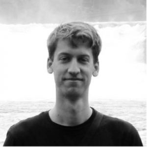
Arjen V. Haag
Arjen is a hydrologist and remote sensing analyst at the department of Operational Water Management and Early Warning of Deltares. He combines hydrological knowledge with modeling, GIS analysis, data-driven approaches and satellite observations, on topics ranging from water resource management to flood forecasting. He has degrees in Civil Engineering from the University of Twente and Hydrology from Utrecht University. At Deltares, he has helped set up and built operational information systems and earth observation tools for water-related applications in various countries and transboundary river basin systems. Relevant projects to which he is currently providing his expertise include C-SCALE, interTwin, SERVIR and Global Water Watch.
Challenges and solutions from porting a multi-petabyte EO application from Google Earth Engine to OpenEO
Within C-SCALE, the Google Earth Engine based Aqua Monitor algorithm is translated to openEO, providing a European alternative for processing large volumes of EO data. Aqua Monitor tracks global land-to-water and water-to-land changes using nearly 40 years of satellite data from the USGS Landsat mission. The multi-petabyte volume of data used in this application pose an interesting challenge for the European Open Science Cloud (EOSC) infrastructures and services. A notebook including course material was developed within C-SCALE to help anyone get started with global EO data using openEO, and the algorithm is translated and broken down in detail for anyone to apply it to their use case.
E-mail address: arjen.haag@deltares.nl


